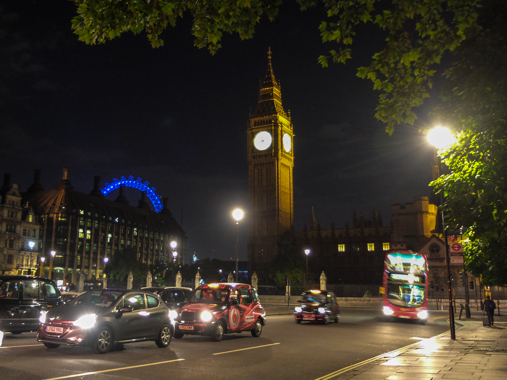
Night Traffic in London
On my recent trip to London, I found getting around the city much easier once my ex-pat friend turned me on to the highly useful Citymapper App, which helps break down the myriad of transportation options in London and New York City.
Not only is the Citymapper app free (and available in iTunes and Google Play), but it really does help make navigating London by tube, bus, bike or rail much simpler. There is even a cheeky jetpack option– should that be how you roll.
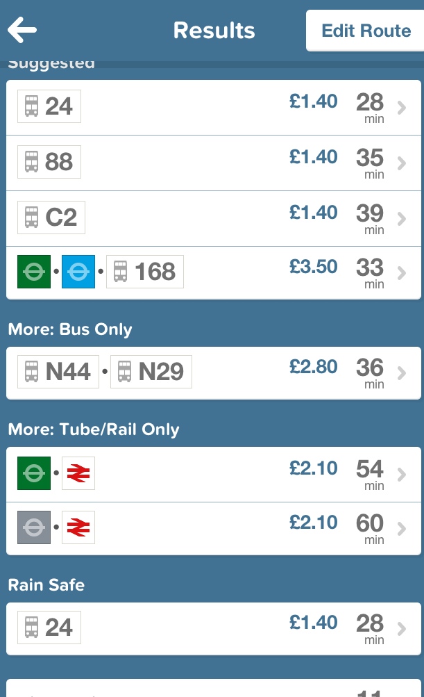
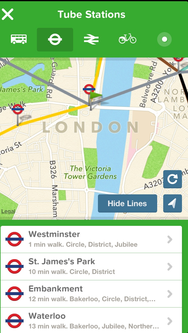
Screencaps from the Citymapper London app
Citymapper is highly useful not just because it gives you the best transportation options to get you to home or work or anywhere you might want to go, but it also gives you estimates for time and tells you what the fare is for your journey. It also gives you weather data and disruption alerts in one place.
The London version of the Citymapper app uses a combination of data compiled from Foursquare with their own database, OpenStreetMaps and Apple maps and combines it into one nifty, user-friend design. Citymapper helps conserve batterylife because it only turns on the GPS when it’s on your screen (with the exception of if you’re traveling by bus, where it uses geofencing).
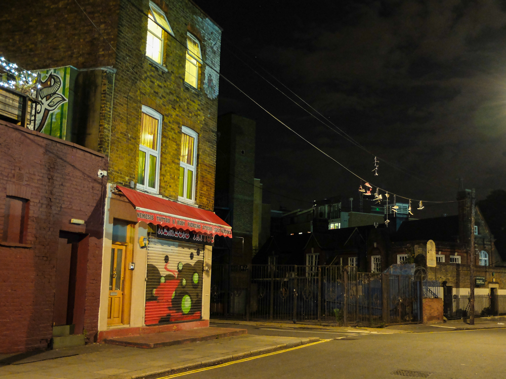
Shoes on a wire in Camden Town
I loved exploring Camden Town and got back to my hotel using the Citymapper App
You can follow Citymapper London on twitter as @CitymapperLON
The Citymapper app also breaks down New York City’s transportation options, although I have yet to try it. If you’ve used Citymapper, let me know what you think of it in the comments section.